

Medium Range Air Quality Outlook
Mid-Atlantic Region
Issued: Wednesday, May 31, 2018
Valid: May 31-June 4 (Thursday-Monday)
![]()

Summary
A progressive upper-level pattern will maintain a Slight risk of an exceedance through most of the medium range period, with a Marginal risk on Friday as the lone exception. Onshore flow aloft and at the surface combined with cloud cover and scattered thunderstorms will keep ozone formation minimal on Thursday. Friday will be the hottest day of the forecast period for most of the Mid-Atlantic as temperatures will reach well above average. The main forecast question for Friday will be the eastward extent of thunderstorms developing in the afternoon. The weather models are still not in consensus regarding the coverage of clouds and precipitation. If thunderstorms don’t reach the I-95 corridor by the late afternoon, light/calm surface winds, southwesterly flow aloft and heating under the strong late May sun will be conducive for ozone formation. The air quality models, as unreliable as they have been this season, are very aggressive on Friday, developing upper Moderate ozone all along the I-95 Corridor, with strips of USG ozone. Saturday looks wet as an upper-level disturbance moves overhead, limiting ozone formation. Below average temperatures combined with mostly cloudy skies and a shift to northeasterly flow aloft will keep ozone in check on Sunday. A cold front will push eastward through the NMA and CMA on Monday, allowing a much drier air mass to filter into the Mid-Atlantic. Near/slightly below average temperatures with strong onshore surface winds will keep ozone formation minimal.
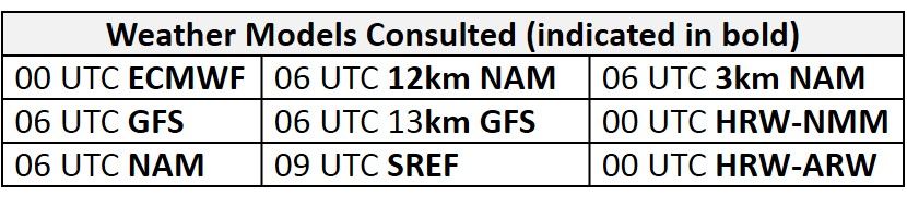
NWP Model Discussion
There is a general consensus between the weather models with synoptic scale features until around 12Z Saturday where the GFS and ECMWF begin to diverge slightly with the shape and strength of an upper-level trough that will move over the Mid-Atlantic late Friday. Despite the uncertainty later in the forecast period, an unsettled weather pattern will persist over the Mid-Atlantic into early next week. The remnants of Alberto will continue to push northward across the Ohio River Valley today, before merging with a relatively weak longwave trough over the Great Lakes beginning around 18Z Thursday. Shortwave energy migrating across the Central Plains will move over the Ohio River Valley by 06Z Friday as it also merges with the longwave trough. By 12Z Friday, the Great Lakes longwave trough will begin to sink southeastward, weakening and potentially closing off over the Mid-Atlantic by 12Z Saturday before slowly moving eastward through the CMA to the eastern coast by 00Z Monday. The GFS is slightly quicker with the development of this feature, forming an upper level closed low by 12Z Saturday. The ECMWF has a weaker feature that is slightly slower to develop, briefly forming a closed low around 00Z Monday before opening the wave as it moves off the Mid-Atlantic Coast by 12Z Monday. Beginning 00Z Monday, the GFS and ECMWF solutions begin to diverge with the upstream pattern, resulting in very different solutions over the Central US and southern Canadian Prairies by 00Z Tuesday. The ECMWF has two separate longwave troughs in Canada, with one centered in central QC and the other centered over western QC. This solution allows a strong and amplified ridge to build over the central US that could have impacts on the Mid-Atlantic next week. The GFS solution instead has a very broad upper-level longwave trough spanning the US/Canadian border, keeping a more zonal flow over much of the western and central US and a flatter ridge building behind the departing cut-off low in the Mid-Atlantic.
The Dailies
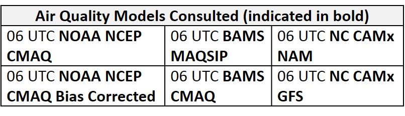
Day 1 (Thursday): Hot and muggy conditions will persist on Thursday. Unsettled conditions will be promoted by a weak warm front lifting northeastward in the NMA/CMA and above average temperatures in a very moist, unstable air mass in the SMA. Mostly cloudy skies will cover most of the region in the morning hours before giving way to a few periods of sunshine in the afternoon hours. These breaks in the clouds will provide surface heating needed to initiate thunderstorms along the western edge of the Mid-Atlantic. Convection allowing models develop some scattered thunderstorms along the western edge of the region by 18Z before developing a line of thunderstorms moving across the region, possibly reaching as far east as I-95 by 00Z Friday. The widespread extent of early cloud cover and afternoon thunderstorms is evident in the 06Z air quality models as they all show Good range ozone for almost all of the Mid-Atlantic. The BAMS MAQSIP and a few versions of the NC CAMx model continue to develop isolated low Moderate ozone in western PA in response to more southwesterly flow aloft. In the rest of the Mid-Atlantic, onshore flow aloft and at the surface combined with cloud cover and scattered thunderstorms will keep ozone formation minimal. Risk of an ozone exceedance will remain Slight for Thursday.
Day 2 (Friday): Friday remains the primary day of concern as conditions favorable for ozone formation seem possible, with a focus on the I-95 Corridor. An area of high pressure building over FL and the Bahamas will promote westerly/southwesterly flow aloft, advecting warm air into the Mid-Atlantic. Mostly cloudy skies in the morning hours will give way to increasing sun in the afternoon hours. A relatively moist air mass under increasing sunshine and above average temperatures will provide the opportunity for widespread thunderstorms in the afternoon hours. The main forecast question for Friday is the eastward extent of thunderstorms as the model consensus seems to keep convection to the west of I-95. If thunderstorms are not able to push to the I-95 corridor, light/calm surface winds, southwesterly flow aloft and heating under the strong late May sun will be conducive for ozone formation. The air quality models are responding to these conditions as the BAMS and NC models develop widespread upper Moderate ozone across the Mid-Atlantic with a few strips of USG ozone along the I-95 Corridor in the NMA. Due to uncertainty regarding the eastward extent of thunderstorms and how quickly the air mass along the I-95 Corridor could modify, the risk of an exceedance will rise to Marginal for Friday.
Day 3 (Saturday): Unsettled conditions will persist on Saturday as the upper-level disturbance moves overhead; however, a weak cold front pushing southward into the CMA will bring some slight relief from the heat. Discrepancies between the weather models create some uncertainty with specifics in Saturday’s forecast but showers and thunderstorms seem likely for locations along and east of I-81. As expected the air quality models lower ozone into the Good range across the NMA and most of the CMA. In the SMA, the BAMS and NC-GFS models develop some scattered Moderate ozone, possibly due to slightly above average temperatures and continued westerly flow aloft. The development of this Moderate ozone seems to be unreasonable due to the possibility of precipitation across the SMA on Saturday. The risk of an ozone exceedance will return to Slight.
Day 4-5 (Sunday-Monday): Saturday’s arriving upper-level disturbance will persist on Sunday, promoting unsettled conditions throughout the Mid-Atlantic. Uncertainty continues with the strength of the upper-level feature, resulting in questions regarding the specifics of Sunday’s precipitation forecast. Mostly cloudy skies appear likely, with scattered showers mainly focused in the CMA. This prolonged disturbance will sink temperatures well below average for most of the Mid-Atlantic. More spring-like temperatures combined with mostly cloudy skies and a shift to strong northeasterly flow aloft will limit any ozone formation on Sunday. The air quality models add further confidence as widespread Good ozone cover the region, resulting in a Slight risk for an exceedance on Sunday. The departure of the upper-level disturbance will allow skies to finally clear on Monday. A cold front will push eastward through the NMA and CMA, allowing a noticeably drier air mass to filter in ahead of high pressure centered over the Midwest. Slightly below or near average temperatures combined with northeasterly flow aloft and strong onshore surface winds will prevent any excessive ozone formation, keeping the risk of an exceedance Slight for Monday.
-Enlow/Huff