

Medium Range Air Quality Outlook
Mid-Atlantic Region
Issued: Thursday, May 24, 2018
Valid: May 25-29 (Friday-Tuesday)
![]()

Summary
Friday is still the day of most interest in the period, with a focus on the I-95 Corridor. Many ozone conducive features will be in place: above average temperatures, clear skies, relatively low humidity, and southwesterly surface winds. The forecast question centers on the degree to which smoke from Canadian wildfires may be reaching the surface in the NNA and CMA, and how quickly ozone can rise today, both locally and upwind. The risk of an ozone exceedance is High, but with a great deal of uncertainty given questions about the reliability of the air quality models (which almost all develop USG ozone along the I-95 Corridor) and the unknown amount of dilute smoke that may be transported from Canadian wildfires. Saturday through Tuesday will be unsettled to various degrees across the region due to the influence of tropical moisture from a system moving into the Gulf of Mexico on Saturday. The system will stall near the Mississippi River Delta through the end of the period. There is still some question as to how far east showers and thunderstorms will reach on Saturday afternoon in the NMA; for now, we will keep the chance for an ozone exceedance Marginal for the northern branch of the I-95 Corridor. Sunday and Monday will be unsettled across most of the region, with possible clearing in the NMA on Tuesday associated with a “back door” cold frontal passage. Regardless of the exact details of the precipitation forecast, the chance for an ozone exceedance appears to be Slight for the end of the period.
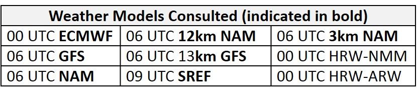
NWP Model Discussion
The weather models have come into close agreement with the main weather features that will affect the Mid-Atlantic through Sunday. There is some disagreement on Monday and Tuesday, however, regarding the advancement of a “back door” cold front, which adds some uncertainty to the forecast for the end of the period. On Friday, the upper level ridge advancing eastward over the Great Lakes/Ohio River Valley/Mid-Atlantic will be flattened by a series of shortwaves cresting the ridge in southern SK/MB, as well as by the southwestern edge of a large longwave trough over eastern Canada. The shortwaves will shear out their energy on Saturday and Sunday as they progress eastward into southern ON/QC. The weather models are now in consensus regarding the tropical disturbance, which will move into the Gulf of Mexico from the south on Saturday. The National Hurricane Center indicates that this disturbance is likely to become a tropical or subtropical depression by late Saturday. The system will slowly approach the LA/MS coast on Sunday and then linger in the vicinity of the Mississippi River Delta on Monday and Tuesday. The Mid-Atlantic will be caught between the tropical low and the Canadian shortwaves, which will eke out a weak longwave trough over the NMA on Sunday before pulling away to the northeast on Monday. Behind the departing trough, an upper level ridge will amplify to the west late Monday and Tuesday, with its axis over the western Great Lakes/Midwest. The strength of the ridge will be impeded by the lingering tropical low over the southern MS River Valley.
The Dailies
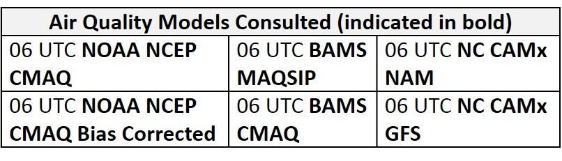
Day 1 (Friday): Friday is still the day of most interest in the period, with a focus on the I-95 Corridor. Many ozone conducive features will be in place: above average temperatures, clear skies, relatively low humidity, and southwesterly surface winds. The forecast question centers on how polluted the air mass is over the region. The large smoke plume across most of southern Canada has stretched southeastward into the NMA and New England this morning. It’s still not clear how much of this smoke may be mixing to the surface across the Mid-Atlantic. PM2.5 concentrations this morning across the northeastern US are slightly higher than expected given the low atmospheric humidity. Ozone is rising quickly at many locations this morning, reaching the 50s ppb at scattered monitors. We will have to see how high ozone gets today locally and upwind, and make an assessment about Friday. The NAAPS model still keeps the smoke plume from the Canadian fires to the north and west of the Mid-Atlantic through the medium range period. The air quality models don’t handle well the impacts of dilute smoke from outside of the CONUS, and they have been very unreliable so far this ozone season, so I’m not sure how much weight to give them. They are all in consensus on increasing ozone on Friday along a strip of the I-95 Corridor from roughly Washington, DC to north/central NJ. The BAMS models bring ozone up to USG around Baltimore, with upper Moderate elsewhere along I-95. The NC models are once again the most aggressive, with a longer stretch of USG ozone from about Baltimore to central NJ, and the experimental NOAA ozone bias correction also predicts USG ozone along the northern stretch of the I-95 Corridor. So the trend is definitely for rising ozone on Friday, along the I-95 Corridor. As a result, the risk of an ozone exceedance is High, but with a great deal of uncertainty given the questions about the reliability of the air quality model guidance and the unknown amount of dilute smoke that may be transported from Canadian wildfires.
Day 2 (Saturday): Saturday will be very warm and uncomfortably humid. Return flow around the surface high offshore will pump warm and moist air northward. The SMA and CMA will begin to experience the influence of the tropical system moving into the Gulf of Mexico, with widespread afternoon showers and thunderstorms likely. The weather models are still not in agreement on the chances for precipitation extending to the I-95 Corridor in the NMA; the NAM keeps it dry, while the GFS and EC have showers and thunderstorms reaching eastward by 21Z Sat to 00Z Sun. Back trajectories for the NMA do swing south and east, which should bring relatively clean air northward, limiting the chances for an ozone exceedance. Given the uncertainty in the precipitation forecast, the risk for an exceedance will drop but only to Marginal, with the focus on the ILG/PHL/TTN metro regions.
Day 3 (Sunday): Sunday will be cooler but still very humid. Tropical moisture streaming into the Mid-Atlantic will promote mostly cloudy skies with widespread afternoon showers and thunderstorms. It won’t be a washout, but there should be sufficient clouds and scattered precipitation to bring the risk of an ozone exceedance down to Slight.
Day 4-5 (Monday-Tuesday): A “back door” cold front will be dropping into the NMA sometime on Monday. The EC is more aggressive with this front, bringing it to the vicinity of the MDL by 18Z Tuesday. The GFS has a weaker front that does not make it as far south. Regardless, there is little chance of an ozone exceedance on Monday, given strong southerly transport aloft associated with the tropical system and another day of unsettled weather in the SMA and CMA. For Tuesday, unsettled conditions will persist across most of the SMA and CMA, with chances for some extended sunshine in the NMA, if the cold front follows the EC solution. Either way, the risk of an ozone exceedance will remain Slight.
-Huff