

Medium Range Air Quality Outlook
Mid-Atlantic Region
Issued: Monday, June 4, 2018
Valid: June 5-9 (Tuesday-Saturday)
![]()

Summary
Unseasonably cool conditions will keep the risk of an ozone exceedance Slight until high pressure and rebounding temperatures bring a Marginal risk on Friday and Saturday. A cold front pushing southward into the NMA on Tuesday will bring a mixed bag of conditions to the Mid-Atlantic. Showers and thunderstorms will be isolated throughout most of the day but locations in the SMA could experience more widespread thunderstorms in the afternoon. Strong northwesterly back trajectories and temperatures near (SMA) or below (NMA) average values will result in a Slight risk of an ozone exceedance on Tuesday. Wednesday will be unseasonably cool for most of the Mid-Atlantic as a cooler air mass finally filters in behind Tuesday’s cold front. Temperatures will rebound to near average values on Thursday as surface high pressure moves through the CMA. Most of the Mid-Atlantic will experience partly sunny skies with mostly cloudy skies over parts of the NMA in the afternoon. A mid-level ridge that has been building over the Mississippi River Valley will begin to impact the Mid-Atlantic on Friday. A weak cold front pushing into the NMA will promote unsettled conditions north of I-76 while high pressure will promote mostly sunny skies and above average temperatures in the CMA and SMA. Uncertainty enters the forecast on Saturday as there is disagreement with the placement of a weak cold front in the NMA. The southward push of precipitation and associated cloud cover will have a large impact on the air quality forecast for Saturday. The main forecast question for Thursday, Friday, and Saturday is how quickly the air mass will modify under the influence of high pressure.
NWP Model Discussion
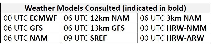
The weather models are generally in consensus with synoptic scale features throughout the work week although the GFS and ECMWF solutions begin to diverge by 12Z Friday. A positively tilted upper level longwave trough currently centered over ON/northern Great Lakes will slowly progress eastward throughout the day, reaching southwestern QC/New England by 12Z Tuesday. Beginning around 18Z Tuesday, the axis of this trough will pivot over the NMA and CMA before moving off the eastern coast shortly after 12Z Wednesday. Once the trough axis has moved off the eastern coast, it will continue to pull to the northeast, weakening its influence over the Mid-Atlantic through Thursday. The eastern Canadian trough pulling northeastward Tuesday through Thursday will allow a ridge of high pressure to slowly begin to influence the Mid-Atlantic by 00Z Friday. By 12Z Friday the GFS and ECMWF solutions begin to diverge with the strength, placement, and propagation of upper level shortwave energy moving across the Midwest/Great Lakes region. The slightly weaker GFS has shortwave energy cresting the ridge on Friday morning, moving across the Midwest throughout the day before reaching the Mississippi and Ohio River Valleys by 00Z Sunday. The more aggressive ECMWF has a strong shortwave moving across MN on Friday that will continue to strengthen over the Great Lakes on Saturday. Between 18Z Saturday and 00Z Sunday, this shortwave energy that originated in MN will slowly begin to merge with another shot of shortwave energy embedded into the longwave trough over eastern Canada. The uncertainty pertaining to the propagation and strength of this upper level feature will impact the precipitation forecast for the NMA and CMA on Saturday.
The Dailies
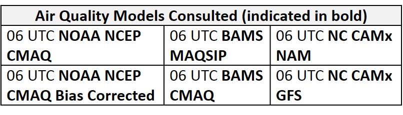
Day 1 (Tuesday): A cold front pushing southward into the NMA on Tuesday will bring a mixed bag of conditions to the Mid-Atlantic. The cold front will push into the NMA early Tuesday and slowly continue southeastward into the northern CMA by 00Z Wednesday. Mostly sunny skies will start the day but clouds will increase as the front advances. Showers and thunderstorms will be isolated throughout most of the day but locations in the SMA could experience more widespread thunderstorms between 18Z Tuesday and 00Z Wednesday as the front pushes south of the MDL. In the SMA, mostly cloudy skies in the morning will give way to mostly sunny skies in the afternoon as a thin slot of drier air moves overhead. Air quality models appear to respond to the frontal passage and below average temperatures in the NMA as they are all in agreement with widespread Good ozone on Tuesday. In the CMA and SMA, the models respond to more sunshine and near average temperatures as pockets of Moderate ozone develop. The NC model appears to be the most aggressive as all versions develop widespread Moderate ozone across the SMA and southern CMA, as well as a few isolated areas of USG ozone in NC. In comparison, both BAMS models keep most of the SMA under Good ozone with a few areas of Moderate ozone in south central NC. This appears to be overdone as flow aloft will be swift and from the northwest. Strong northwesterly back trajectories and temperatures near (SMA) or below (NMA) average values will result in a Slight risk of an ozone exceedance on Tuesday.
Day 2 (Wednesday): Wednesday will be unseasonably cool for most of the Mid-Atlantic. Tuesday’s cold front will push into the SMA by 12Z Tuesday, allowing much cooler air to filter into the region. Mostly cloudy skies will persist over the NMA and CMA with a few periods of sunshine possible in the afternoon. Flow aloft will remain northerly, but surface high pressure building over the Great Lakes will weaken the flow. Much drier air and weakening of the cold front will result in dry conditions as it passes through the SMA. Temperatures will remain near average in the SMA under mostly sunny skies. The air quality models develop widespread Good ozone across the Mid-Atlantic as unfavorable ozone conditions persist. Once again the NC models are slightly more aggressive in the SMA as they develop Moderate ozone along the NC/SC border. The risk of an ozone exceedance will remain Slight on Wednesday.
Day 3 (Thursday): Temperatures will rebound to near average values on Thursday as surface high pressure moves through the CMA. Most of the Mid-Atlantic will experience partly sunny skies with mostly cloudy skies over parts of the NMA in the afternoon. The lack of precipitation and influence of high pressure is evident in the BAMS and NC-GFS models as they develop moderate ozone across the region. The BAMS and NC-GFS highlight the I-95 Corridor in the NMA with a strip of Moderate ozone possibly in response to weak surface winds and near average temperatures. The NC-GFS2 version is an outlier with more widespread Moderate ozone and even a few isolated locations of USG ozone. In comparison, the NC-NAM versions have widespread Good ozone with an isolated area of Moderate ozone in southwestern PA. The main forecast question for Thursday is how quickly the air mass will modify under the influence of high pressure. For now, the risk of an ozone exceedance will remain Slight.
Day 4-5 (Friday-Saturday): A mid-level ridge that has been building over the Mississippi River Valley will begin to impact the Mid-Atlantic on Friday. Mostly sunny skies will allow temperatures to reach above average values in the SMA and CMA. A weak cold front pushing into NMA will promote mostly cloudy skies with a few opportunities for showers and thunderstorms north of I-76 in the afternoon hours. Weak back trajectories and above average temperatures in the SMA will be favorable for ozone formation. Increasingly favorable ozone conditions can be seen in the air quality models as the BAMS and NC models develop widespread Moderate ozone. The NC-GFS versions develop scattered USG ozone in PA, WV, and west/central NC. The forecast question remains how the air mass will modify under the influence of high pressure. The risk of an ozone exceedance will increase to Marginal on Friday. Uncertainty enters the forecast on Saturday as the GFS and ECMWF disagree with the placement of a cold front pushing southward into the NMA. The GFS is slightly quicker, with precipitation reaching as far south as I-76 by 00Z Sunday, compared to the ECMWF that keeps precipitation out of the NMA until after 00Z Sunday. The southward push of precipitation and associated cloud cover will have a large impact on the air quality forecast for Saturday. The risk of an ozone exceedance will remain Marginal on Saturday due to uncertainty in the forecast.
-Enlow/Ryan