

Medium Range Air Quality Outlook
Mid-Atlantic Region
Issued: Monday, July 23, 2018
Valid: July 24-28 (Tuesday-Saturday)
![]()

Summary
The Mid-Atlantic will continue to be caught between an unseasonable upper/mid-level trough and a strong Bermuda ridge in the Atlantic for the first part of the period, with strong onshore flow keeping a Slight risk of an ozone exceedance on Tuesday and Wednesday. The trough finally weakens and retreats on Thursday, but a series of weak fronts moving into the region will keep the chances for unsettled weather in the forecast. On Thursday, the first of the two weak cold fronts will move through the central part of the region towards the I-95 Corridor. Although mostly sunny skies, westerly flow and near average temperatures in the western Mid-Atlantic may allow for some ozone formation, the presumably very clean air mass in place (after 5 days of onshore flow and periods of heavy rain) should keep ozone in check, with a Slight chance of an exceedance continuing. The second weak cold front will move through the region on Friday, stalling along or near the Atlantic coast. Precipitation and cloud cover associated with the front should be widespread enough to keep ozone in check across the NMA, CMA, and eastern SMA. Across the western SMA, however, mostly sunny skies, light westerly flow, and above average temperatures could be favorable for ozone formation, increasing the risk of an exceedance to Marginal. On Saturday, the risk of an exceedance will shift northward as weak high pressure builds over the NMA. With much drier air building into the NMA and CMA, light westerly surface winds, and mostly sunny skies, some ozone formation is possible, keeping the risk of an exceedance Marginal.
NWP Model Discussion
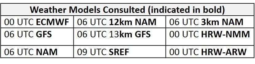
The weather models are in close agreement with the evolution of synoptic scale features throughout the medium range period, but they vary somewhat in the details. The unseasonable upper level trough that has been impacting much of the eastern U.S. over the weekend will remain centered over the Ohio and Tennessee River Valleys on Tuesday, stretching southward to the Gulf coast by 12Z Tuesday. A strong Bermuda ridge over the Atlantic will keep this upper level trough in place over the eastern U.S. as it continues to weaken through Wednesday. Shortly after 12Z Wednesday, the eastern U.S. trough will slowly retreat northward as it continues to weaken. At the same time, the southwestern extent of the Bermuda ridge will slowly build westward towards the Gulf of Mexico at mid-levels, with the base of the eastern U.S. trough moving over the Carolinas by 12Z Thursday. As this occurs, an upper level trough in the northern stream flow, oriented west to east across SK, MB and western ON, will pivot southeastward, pushing into the Upper Midwest by 12Z Thursday. The arrival of the Upper Midwest trough will keep upper level troughing over the northeastern quarter of the CONUS as the eastern U.S. trough continues to retract northeastward on Thursday, but the Bermuda ridge extending into the eastern Gulf at mid-levels will prevent the trough from extending into the Southeast U.S. By 12Z Friday, the weather models move the center of the Upper Midwest trough over eastern ON. The GFS is slightly stronger with this feature as it develops a broad closed circulation over ON by 00Z Saturday, while the ECMWF fluctuates between a weak closed low and open trough. Despite these minor differences, the trough axis associated with this feature will slowly push into the Mid-Atlantic from the northwest on Saturday. As the trough axis enters the western Mid-Atlantic, low amplitude longwave trough/shortwave perturbations dropping across the northern Great Plains will result in a broad trough across most of the northern half of the CONUS. This weak troughing will result in zonal flow across the Mid-Atlantic through the first half of the weekend.
The Dailies
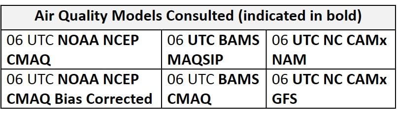
Day 1 (Tuesday): This extended period of unsettled conditions across the entire Mid-Atlantic will continue on Tuesday as the upper level trough remains over/just to the west of the region. The trough axis stalled just to the west of the region and the presence of a strong Bermuda ridge over the Atlantic will promote strong southerly flow that will continue to usher a tropical air mass northward across the region. This saturated air mass (precipitable water values at or above 2 inches along and east of the Appalachians) will override a stalled frontal boundary draped north/south across the CMA and SMA to promote widespread heavy precipitation across most of the Mid-Atlantic, especially the eastern half of the region. Given little or no opportunity for ozone formation, the air quality models keep the entire Mid-Atlantic under Good air quality. Mostly cloudy skies, strong southerly flow, and widespread heavy precipitation will result in a Slight risk of an ozone exceedance.
Day 2 (Wednesday): Wednesday will be the last day of relentless widespread precipitation as the weakening upper level trough finally begins to move northeastward, pulling a weak cold front into the western portion of the region with it. Similar to Tuesday, strong southerly flow will continue to feed an atmospheric river of moisture. The weak cold front is expected to slowly edge into the western Mid-Atlantic Wednesday afternoon and push into the central Mid-Atlantic by 00Z Thursday. The arrival of this weak front will promote the heaviest precipitation across the eastern half of the NMA and CMA throughout the afternoon, and precipitation will slowly begin to clear from west to east following the front. The air quality models begin to develop Moderate ozone across the western Mid-Atlantic, likely in response to converging winds along the frontal boundary. Although a few breaks in the clouds and light surface winds could allow ozone to increase following the front, an extended period widespread unsettled conditions across most of the eastern U.S. and a resulting clean air mass will keep ozone in check. The risk of an ozone exceedance will remain Slight on Wednesday.
Day 3 (Thursday): Although there is uncertainty in the precipitation forecast, dry conditions should finally return to most of the Mid-Atlantic on Thursday. Wednesday’s cold front will continue to slowly push eastward overnight and through the afternoon hours, likely stalling as it reaches the I-95 Corridor sometime in the late afternoon, due to weak upper level support. Although precipitation will dissipate from west to east behind the front, showers and thunderstorms are possible along the I-95 Corridor throughout the day. Mostly sunny skies, near average temperatures, and westerly flow could be favorable for ozone formation throughout the western half of the region. The primary forecast questions for Thursday will be how far east the weak front is able to push, the coverage of associated cloud cover and precipitation across the eastern Mid-Atlantic, and how quickly the air mass is able to modify across the western Mid-Atlantic under ozone conducive conditions. The air quality models are quick to respond to mostly sunny skies, westerly flow and near average temperatures as they develop scattered Moderate ozone across most of the Mid-Atlantic. Despite the possibility for unsettled conditions across the eastern Mid-Atlantic, the air quality models develop upper Moderate/low USG ozone along the I-95 Corridor throughout the CMA and NMA. Although this is unlikely to occur, the models are likely responding to converging surface winds along the front and relatively dry conditions in the weather model guidance. At this time, any quick rise in ozone on Thursday seems unlikely, given the probably very clean air mass in place. As a result, the risk of an ozone exceedance will remain Slight, with the best chance for Moderate ozone in the western part of the region.
Day 4-5 (Friday-Saturday): Another weak cold front will push into the Mid-Atlantic on Friday, potentially promoting widespread unsettled conditions throughout the NMA and CMA. The GFS and EC both show pre-frontal clouds and showers on Friday, but with different timing. Showers and thunderstorms will precede the weak cold front as it pushes into the NMA shortly after 12Z Friday, roughly reaching I-81 by 00Z Saturday, where it will stall. Precipitation and cloud cover should be widespread enough to keep ozone in check across the NMA and CMA. In the SMA, unsettled conditions are likely along the east coast as Wednesday’s/Thursday’s cold front lingers along/just off the coast. Across the western SMA, mostly sunny skies, light westerly flow, and above average temperatures could be favorable for ozone formation. The air quality models continue to over-respond to the presence of a weak frontal boundary as they develop a mix of Moderate and USG ozone along the I-95 Corridor with upper Moderate ozone stretching southwestward through the CMA and SMA. Although this solution seems overdone throughout the NMA and CMA, conditions in the SMA could be favorable for ozone formation to take place. Given uncertainty regarding the coverage of clouds and precipitation, as well as air mass characteristics ahead of the weak front(s), the risk of an ozone exceedance will rise to Marginal with a focus on west/central NC.
Although unsettled conditions will most likely be confined to the SMA on Saturday, weak high pressure will move into the NMA and CMA behind Friday’s weak cold frontal passage. With the broad and shallow trough aloft, with the embedded shortwaves, the weather models are developing scattered precipitation across the region, with the EC being the slightly wetter of the two models. With much drier air building into the NMA and CMA, light westerly surface winds, and mostly sunny skies, some ozone formation is possible. The risk of an exceedance will remain Marginal with a focus on the NMA and CMA.
-Enlow/Huff