Medium Range Air Quality Outlook
Mid-Atlantic Region
Issued: Friday, July 17, 2015
Valid: July 18 – 22, 2015 (Saturday – Wednesday)
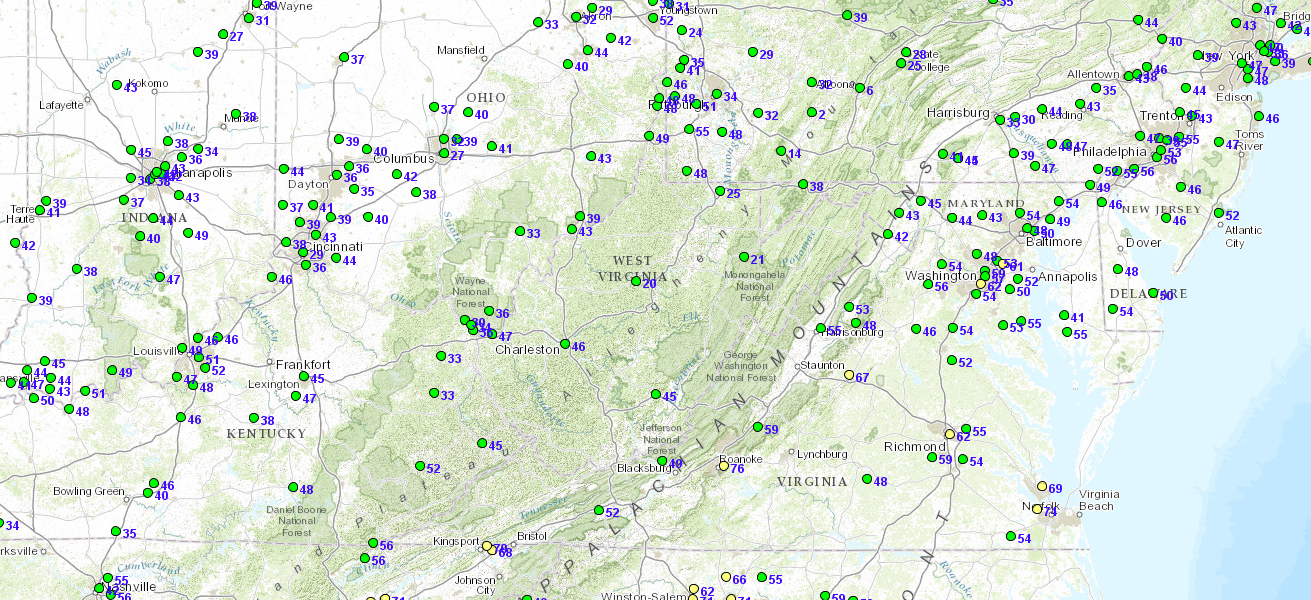
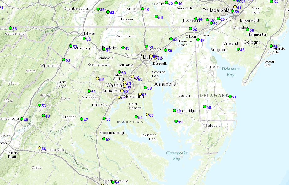
![]()

Summary:
As heat and humidity increase through the weekend, ozone and particle concentrations will build accordingly. There is an appreciable chance of USG ozone as early as Sunday although Monday is the more likely day in areas not affected by convection advancing from the west. After the front’s passage overnight Monday into Tuesday morning, precursors will be scarce enough to limit ozone production on Tuesday. However, a possible building ridge to our west as well as continuing clear skies and light winds will allow concentrations to rebound during the second half of next week.
Discussion:
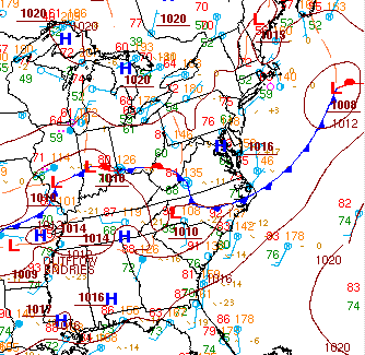
The weather models are in general consensus on the synoptic features throughout the medium range period. The 06Z NAM, 06Z GFS, and 00Z ECMWF were consulted for this analysis. This morning, a small ridge with its axis through the Mid-Atlantic is promoting clear skies across the region. However, a cluster of shortwaves aloft over the Great Lakes are generating clouds and showers in their vicinity, which will spread over the Northeast overnight. These upper level waves will promote convection throughout the Mid-Atlantic tomorrow. The weather models show a trough in Canada digging towards northern ND around 12Z Saturday, with a ridge building just ahead of it over the Great Lakes. This ridge will become shallower and weaker as it moves eastward into the Mid-Atlantic, allowing the heat and humidity to develop Saturday and continue Sunday. The Canadian trough is expected to continue to strengthen and grow in size as it moves eastward across the US/Canada border, reaching the vicinity of New England by 12Z Monday. With its axis dipping into the northeastern US, this trough will pull a defined cold front across the eastern seaboard starting on Monday. Despite model discrepancies regarding the pattern of vorticity maxima aloft, the models are in good consensus regarding the general timing and strength of the cold front. As was discussed yesterday, the models have yet to pick up on the slowing tendency that the heat and humidity in the Northeast will have on the eastward progression of the front. Although the WPC surface analysis reflects this pattern and shows the front not reaching the Delmarva until 12Z Tuesday, the global weather models show the frontal impacts reaching that area about 12 hours earlier. Regardless of this discrepancy, the front is expected to be strong enough to promote widespread clouds, rain, and possibly strong convection along its boundary as it sweeps through the region Monday into Tuesday. By Tuesday the models agree that a secondary upper level trough will form behind the first Canadian one, allowing a break from the clouds and showers. The secondary trough will follow the path of the first – moving eastward to the north of New England – and pull a similar cold front through the region as well. However, this front will be weaker and will be moving through a less hot and humid air mass, making it simply a focus for scattered afternoon convection as it passes through on Wednesday afternoon. Surface high pressure will build in behind the front, helping to clear skies quickly for Thursday.
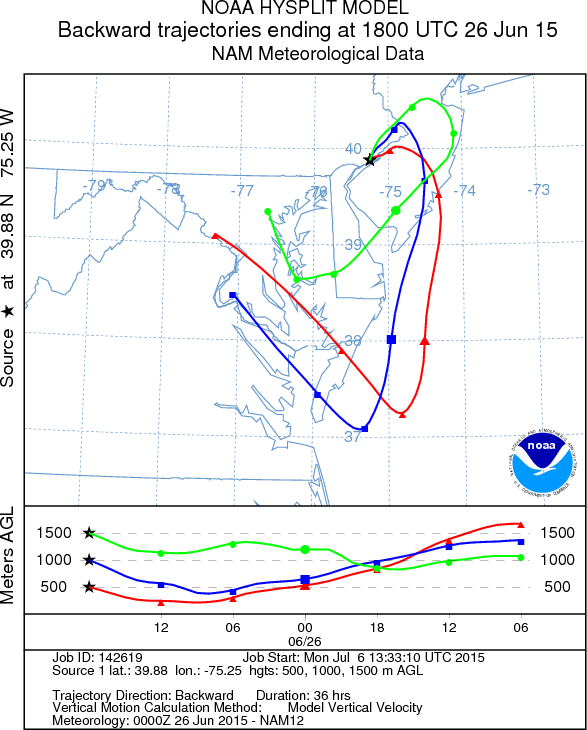
Saturday will be a day of building heat and increasing humidity as temperatures reach into the low 90s F across the region with dew points in the 70s F. A weak warm front moving northeastward through the southern and central Mid-Atlantic (SMA, CMA), as well as a small shortwave moving overheard, will promote scattered clouds and showers throughout the region tomorrow. Back trajectories for 1500m show subsidence of air originating in KY, while 1000m and 500m trajectories for PHL showed air looping onshore near Cape Hatteras. This origin of the boundary layer air tomorrow, as well as the possibility for periods of broken cloud cover will result in mostly Good ozone with areas along and downwind (northeast) of the I-95 Corridor reaching into the Moderate range. Scattered areas of Moderate particles are possible, especially in the SMA where the humidity will be highest.
Sunday will see the continued buildup of ozone and PM2.5 as surface winds diminish, temperatures rise into the mid-90s F, and the sun shines for much of the day. Back trajectories from the Ohio River Valley – an area rich in ozone precursors – are predicted for Sunday in the northern Mid-Atlantic (NMA). The weather pattern Sunday is conducive to high ozone concentrations, however, recent history shows that USG range ozone on Sunday is rare. For the period 2008-2014, the chance of USG ozone on Sunday is three times less likely than other weekdays. As a result, the most likely air quality outcome on Sunday is high Moderate, however, there is an appreciable chance of USG ozone. Particles will continue to rise into the Moderate range from Saturday into Sunday due to the calm southwest surface winds, high temperatures and humidity, and westerly trajectories.
Monday is another day of interest due to continued heat, humidity, light southwest surface winds, and westerly back trajectories. Although these factors will be prevalent throughout the weekend as well, the addition of commuter traffic along the I-95 Corridor as well as an anticipated lee trough through NJ/DE will give ozone a push towards USG in areas surrounding the Bay. Moderate or USG concentrations of both ozone and PM2.5 will be limited to the eastern Mid-Atlantic as a cold front approaches from the west, promoting widespread pre-frontal clouds and rain. Although the global weather models are anticipating the passage of the cold front through the Delmarva around 18Z Monday, non-computer forecasts – such as this one and the WPC surface analysis – delay the frontal passage by about 12 hours due to the anomalous heat and humidity ahead of the front. Therefore, PM2.5 concentrations will likely reach into the Moderate range at locations along the I-95 Corridor on Monday ahead of the frontal passage.
Decreasing temperatures and humidity on Tuesday as dew points drop into the mid-60s F behind the front. Back trajectories from northern MI will provide a cleaner background atmosphere, but abundant sunshine will allow ozone to rebound into the Moderate range in the usual interstate locations. The early morning passage of the front will bring widespread showers to the area, limiting particles to the Good range. The air quality models are showing a quick rebound of particles into the Moderate range across the CMA and NMA on Tuesday, likely due to the fact that the global weather models analyze the cold front as moving off the coast by Monday night.
Wednesday’s temperatures will remain in the high 80s F despite the passage of a second, weaker cold front during the afternoon hours. This front will promote only scattered clouds and convection in its vicinity during the late afternoon, with widespread sunny skies and light winds allowing ozone and particle concentrations to rebound into the Moderate range.
– Eherts/Ryan