

Medium Range Air Quality Outlook
Mid-Atlantic Region
Issued: Tuesday, June 5, 2018
Valid: June 6-10 (Wednesday-Sunday)
![]()

Summary
A strong upper level ridge building over the central US will begin to influence the Mid-Atlantic on Thursday, resulting in a string of days with Marginal and Appreciable risk of an exceedance. Wednesday will be the lone Slight risk day as cool and dry conditions continue throughout most of the Mid-Atlantic. The primary forecast question for Thursday will be how quickly the air mass will modify as winds become light and southerly. The risk of an ozone exceedance will increase to Marginal with a focus on the I-95 Corridor from BAL to TTN. Friday will be the primary day of concern as conditions will be more favorable for ozone formation. Temperatures will return to near average values in the NMA and slightly above average values in the SMA. An approaching weak cold front will bring the possibility for showers and thunderstorms. Weak surface winds, recirculating back trajectories and near average temperatures will result in an Appreciable risk of an ozone exceedance on Friday with a focus along I-76 in western PA and I-95 in the CMA and NMA. Friday’s weak cold front lingering over the CMA and the return of a humid air mass will result in unsettled conditions across the Mid-Atlantic on Saturday. Scattered showers and thunderstorms seem likely throughout the day across the region with locally heavy precipitation focused in the already soaked CMA. Southerly flow and periods of sunshine will allow temperatures to rise slightly above average in the NMA while mostly sunny skies will result temperatures reaching into the 90s °F in many locations in the CMA and SMA. The risk of an exceedance will return back to Marginal with a focus on the SMA. Sunday also appears to be unsettled as another cold front approaches the region from the north. Temperatures in the SMA and CMA will once again reach into the 90s °F. Southwesterly flow and above average temperatures could allow for ozone formation. The risk of an ozone exceedance on Sunday will be Marginal with a focus on the SMA.
NWP Model Discussion
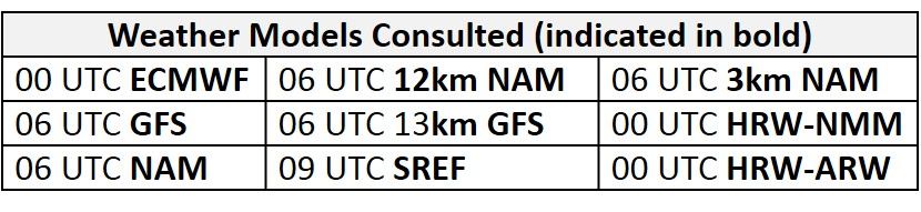
There continues to be a general consensus between the weather models with respect to large scale features until around 06Z Friday. Two primary features, a longwave trough currently over the northeastern US and a broad, amplifying ridge over central/ west central US, will heavily influence the Mid-Atlantic throughout the medium range period. By 12Z Wednesday the longwave trough will be departing the northeast, as the trough axis parallels the Atlantic coast before moving out to sea by 00Z Thursday. The departure of the trough will allow the strong central US ridge to build eastward. The models start to diverge with the strength and placement of upper level shortwaves cresting the ridge over the upper Great Plains around 18Z Thursday. The last few hours of the NAM and the GFS solution are somewhat in agreement, bringing these perturbations into the Mississippi River Valley by 00Z Saturday. The ECMWF pushes the shortwaves more to the north, moving over MN/WI by 00Z Saturday. These differences will primarily impact the timing of a frontal passage over the weekend and associated precipitation across the Mid-Atlantic. Despite the differences in the solutions, the Mid-Atlantic will be impacted by a mid-level ridge into the weekend as the western extent of the Bermuda High merges with the mid-level ridge over the southeast by 06Z Friday. The location of this ridge over the southeast will be climatologically favorable for ozone conducive conditions, as it suggests a westerly/southwesterly flow over the Mid-Atlantic. The placement of this ridge is also important due to the uncertainty pertaining to the shortwave energy and associated precipitation on Friday, Saturday, and Sunday.
The Dailies
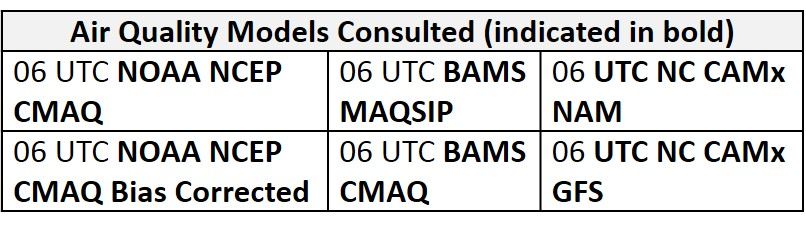
Day 1 (Wednesday): Cool and dry conditions will continue throughout most of the Mid-Atlantic on Wednesday. A lingering cold front in the SMA could promote a few scattered showers and thunderstorms after 18Z. Surface high pressure over the Great Lakes and northerly flow aloft will result in cold air advection aloft, capping temperatures to below average values for the NMA and most of the CMA. The surface high pressure will slowly push eastward, reaching the NMA by 00Z Thursday, resulting in diminishing surface winds throughout the day. In the SMA, dry, stable air following the frontal passage and a shift to weaker northwesterly flow will allow temperatures to rise to slightly above average values. The air quality models are responding to below average temperatures in the NMA and parts of the CMA as they are all in agreement with widespread Good ozone. The BAMS-CMAQ and NC models, however, develop areas of Moderate ozone in the southern SMA in response to weak surface winds, strong June sunshine and above average temperatures. This could be a reasonable solution if showers and thunderstorms do not develop in the afternoon across southern NC. Risk of an ozone exceedance will remain Slight.
Day 2 (Thursday): Thursday will be dry for the entire Mid-Atlantic as mid-level high pressure over the Mississippi River Valley influences the region. Temperatures will be slow to rebound resulting in slightly below average temperatures across the NMA and CMA with periods of sun and clouds. Cool air finally filtering into the SMA will combat against mostly sunny skies to bring temperatures back to near average values. The continued influence of high pressure resulting in light southwesterly surface winds and slowing back trajectories are most likely the cause of more Moderate ozone developing in the models for Thursday. The BAMS models develop more scattered Moderate with a large strip of Moderate ozone extending the length of I-95 in the NMA and CMA and along I-81 in the SMA. Both the NC-GFS and NC-NAM versions are more aggressive with more widespread Moderate ozone and a few areas of USG ozone along I-95 from BAL to TTN, western PA, and WV/KY/VA borders. The primary forecast question for Thursday will once again be how quickly the air mass is able to modify. The risk of an ozone exceedance will increase to Marginal on Thursday with a focus on the I-95 Corridor from BAL to TTN.
Day 3 (Friday): Friday will be the primary day of concern as conditions will be favorable for ozone formation. Temperatures will return to near average values in the NMA and slightly above average values in the SMA under periods of clouds and sun. An approaching weak cold front will bring the possibility for showers and thunderstorms before 00Z Saturday in the NMA and CMA but the timing of precipitation will be the main question. This front is expected to move into the NMA and slowly drift southward throughout the day. If precipitation holds off until after 00Z Saturday along the I-95 corridor conditions will be favorable for ozone formation. This is evident in the air quality models as widespread Moderate ozone persists. The NC-NAM2 and BAMS-CMAQ keep most of the I-95 corridor under Moderate ozone where the NC-GFS versions and BAMS-MAQSIP model develop areas of USG ozone in MD and along the I-95 corridor. The NC-GFS2 is even more aggressive in western PA as it develops a small stretch of Unhealthy ozone. Weak surface winds, recirculating back trajectories and near average temperatures will result in an Appreciable risk of an ozone exceedance on Friday with a focus along I-76 in western PA and I-95 in the CMA and NMA.
Day 4-5 (Saturday-Sunday): Friday’s weak cold front lingering over the CMA and the return of a humid air mass will result in unsettled conditions across the Mid-Atlantic on Saturday. Scattered showers and thunderstorms seem likely throughout the day across the region with locally heavy precipitation focused in the already soaked CMA. Southerly flow and periods of sunshine will allow temperatures to rise slightly above average in the NMA while mostly sunny skies will result in temperatures reaching into the 90s F in many locations in the CMA and SMA. The BAMS air quality models are responding to the scattered precipitation and shift to southerly flow as they develop more scattered Moderate ozone across the region. The risk of an ozone exceedance will return to Marginal. The return of unsettled conditions will bring the risk of an ozone exceedance back to Slight on Saturday. Sunday also appears to be unsettled as another cold front approaches the region from the north. There is some uncertainty pertaining to the timing and strength of this front but precipitation seems likely across the NMA. There is more uncertainty in the CMA and SMA as temperatures will once again reach into the 90s F. Southwesterly flow and above average temperatures could allow for ozone formation. The risk of an ozone exceedance on Sunday will be Marginal with a focus on the SMA.
-Enlow/Ryan