

Medium Range Air Quality Outlook
Mid-Atlantic Region
Issued: Friday, June 1, 2018
Valid: June 2-6 (Saturday-Wednesday)
![]()

Summary
The risk of an ozone exceedance will remain Slight for most of the medium range period as consecutive upper level troughs promote clean air quality conditions across the Mid-Atlantic. The weekend will be unsettled and cloudy due to a weak cold front and associated wave that will stall over the CMA. On Monday, below average temperatures and breezy onshore flow will inhibit ozone formation. With an upper level trough lingering nearby on Tuesday, below average temperatures, breezy surface winds, and unsettled conditions will persist. On Wednesday, the increasing influence of a ridge of high pressure to our west suggests that the Mid-Atlantic will be mostly sunny and dry. There is some uncertainty regarding how quickly temperatures will rebound, however. If the warmer GFS solution prevails, the SMA may see ozone development on Wednesday, depending on upstream air mass characteristics. For now, the risk of an ozone exceedance will increase to Marginal on Wednesday, with a focus on the SMA.
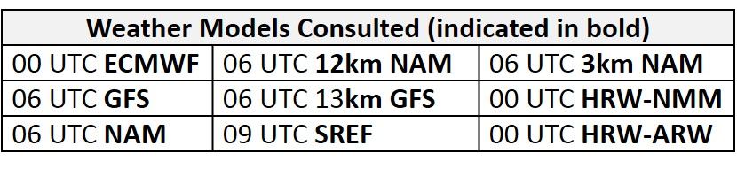
NWP Model Discussion
The weather models are now generally in agreement with the progression and strength of synoptic scale features, but they still differ on the details regarding a couple of longwave troughs setting up over the northeast US during the period. At 12Z Saturday, a relatively weak longwave trough will be centered over the Mid-Atlantic with a secondary, stronger longwave centered over the upper Great Plains/southern Canadian Prairies. The weaker Mid-Atlantic trough will linger over the eastern CMA through 12Z Sunday, while the stronger trough will progress eastward, reaching the Upper Midwest/Great Lakes by this time. Some differences remain, but the GFS and NAM are coming into closer agreement with the ECMWF in regards to the interaction of these two features over the Mid-Atlantic. The stronger, northern trough will approach the NMA around 00Z Monday; the GFS and NAM phase the energy of the two systems, while the EC still does not. The stronger, northern trough will cut off over the southern ON/Great Lakes by 12Z Monday. This feature will slowly move south- and eastward, over southern QC/New England by 00Z Wednesday, before moving off the coast of MA/ME by 00Z Thursday. This strong upper level feature will continue to influence the Mid-Atlantic through Wednesday. The slight differences between the GFS and ECMWF will primarily impact the precipitation forecast for the beginning of next week, as discussed in the Dailies. Looking ahead, the development of the strong upper level trough/closed low over the Northeast and the presence of broad upper level trough over the northern Pacific/western North America will allow a broad ridge to build over the interior US by 12Z Monday. The ridge will continue to build through the end of the medium range period and could possibly have air quality impacts near the end of the work week and into the weekend.
The Dailies
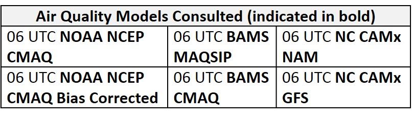
Day 1 (Saturday): The weak upper level longwave trough over the Mid-Atlantic will pull a weak cold front through most of the Mid-Atlantic on Saturday, with a wave of low pressure riding along it. Widespread and locally heavy showers and thunderstorms will impact the entire region, as a very moist air mass (forecasted precipitable water values around 2 inches) will be in place. Locations in the CMA will most likely experience widespread heavy precipitation due to its proximity to the front and wave. Mostly cloudy skies and a slightly cooler air mass following the cold front will keep temperatures only near average in the NMA and CMA. The slow southward push of the front will keep temperatures in the SMA above average, as precipitation will be more scattered, allowing for a few periods of sunshine. The NOAA and NC-CAMx air quality models appear to respond to the conditions appropriately as they develop widespread Good ozone across the Mid-Atlantic. The BAMS MAQSIP model is considered an outlier, with widespread Moderate with a few locations of USG ozone in the eastern NMA and CMA as well as widespread Moderate ozone in the SMA. This seems to be overdone as breezy surface winds, cloud cover, and precipitation should be sufficient to limit ozone formation, resulting in a Slight risk of an ozone exceedance.
Day 2 (Sunday): The Mid-Atlantic will continue to experience widespread unsettled conditions on Sunday as the stronger upper level trough moves over the Ohio River Valley. Saturday’s frontal passage and a shift to fast north/northeasterly flow aloft will allow a much cooler air mass to filter into the region, resulting in below average temperatures for most of the Mid-Atlantic. Mostly cloudy skies will blanket the NMA and CMA, but showers and thunderstorms will most likely be concentrated over the CMA. All of the air quality models are in agreement that the widespread unsettled conditions will promote Good ozone across the entire Mid-Atlantic. These conditions combined with breezy onshore surface winds will keep the risk of an ozone exceedance Slight on Sunday.
Day 3 (Monday): Some uncertainty still remains with specific details for Monday’s forecast, however, confidence remains high that unsettled conditions will not be favorable for ozone formation. The NAM and GFS are generally in agreement that showers and thunderstorms will remain in the eastern NMA and CMA. The NAM is slightly quicker, clearing precipitation out of the NMA by 18Z Monday, compared to the GFS that keeps showers and thunderstorms in the area through 00Z Tuesday. The ECMWF, since it pushes the upper level trough (and associated surface low) offshore, keeps the NMA and CMA dry with mostly sunny skies. This is in contrast to the NAM and GFS, which move the surface low up the NMA coast. Given that the GFS and NAM have been trending towards the ECMWF solution, and WPC also favors the ECMWF solution, we will favor the drier, less cloudy solution for Monday. A shift to northwesterly flow aloft will bring a considerably drier air mass into the Mid-Atlantic, offering relief from the seemingly never-ending rain and humidity. Mostly cloudy skies in the morning hours will slowly clear from west to east as the dry air mass slowly filters into the region. Temperatures will remain below average in the NMA and most of the CMA due to cold air advection aloft, but lack of morning cloud cover in the SMA will allow temperatures to reach near average values. With the lone exception of the NC-GFS solutions, the air quality models are again in agreement that Good ozone will develop across the region. The NC-GFS solutions are possibly responding to the increasing sunshine in the western half of the region as the GFS2 version develops scattered Moderate ozone and the GFS3 version develops widespread Moderate ozone. This seems to be slightly overdone as flow aloft will be northerly/northwesterly with temperatures remaining below average. The risk of an ozone exceedance will remain Slight.
Day 4-5 (Tuesday-Wednesday): With the lingering upper level trough on Tuesday, unsettled conditions will still impact parts of the NMA and CMA. On Wednesday, the increasing influence of high pressure to our west suggests that the Mid-Atlantic will be mostly sunny and dry. Here agai,n the EC and GFS diverge, with the EC keeping the warmer air to the west through Wednesday, limiting the chances for ozone formation. The GFS is warmer, which could raise some questions on Wednesday for SMA depending on the upstream air mass characteristics. For no,w the risk of an ozone exceedance will remain Slight on Tuesday and will increase to Marginal on Wednesday, with a focus on the SMA.
-Enlow/Huff